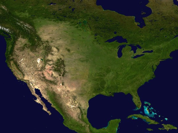
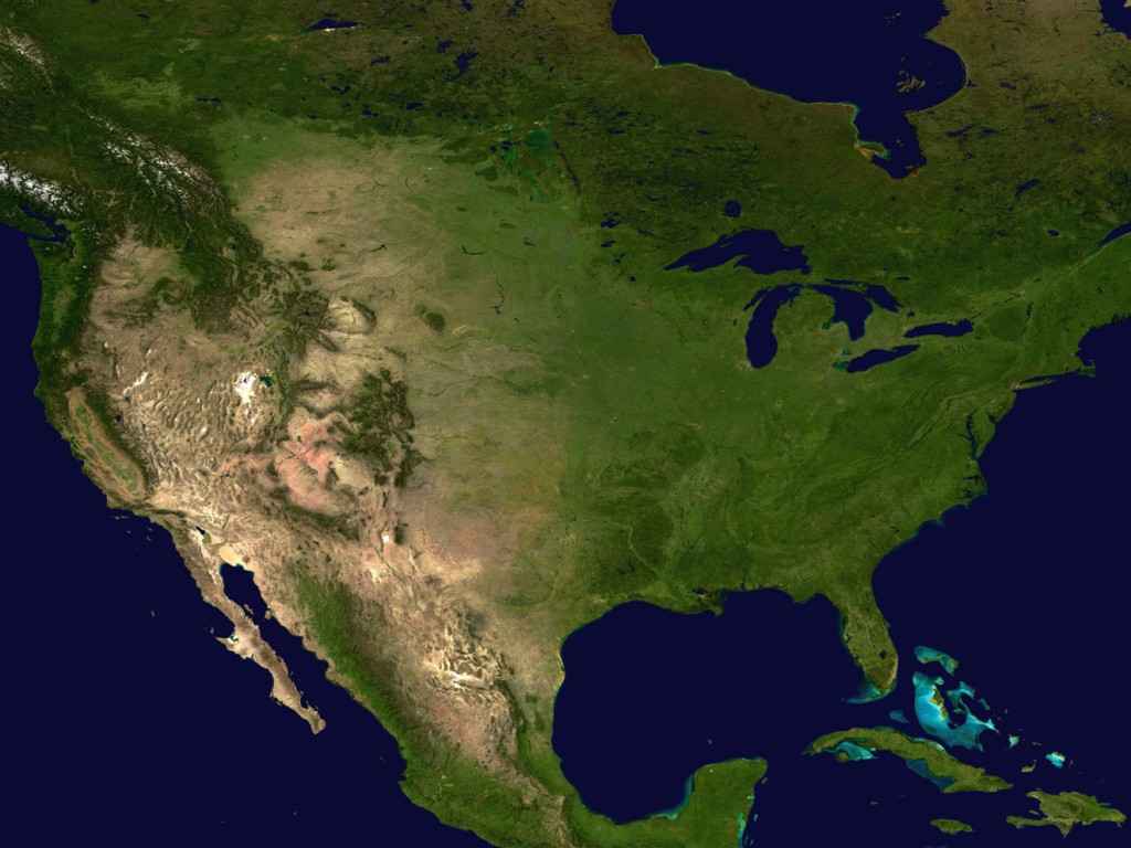
| Blue Marble (Continental USA): Land Surface,
Shallow Water, and Shaded Topography |
|
This is my crop of the continental USA from an amazing
image in NASA’s
Visible Earth collection: “This spectacular ‘blue
marble’ image is the most detailed true-color image of the entire
Earth to date. Using a collection of satellite-based observations, scientists
and visualizers stitched together months of observations of the land surface,
oceans, sea ice, and clouds into a seamless, true-color mosaic of every
square kilometer (.386 square mile) of our planet.” Here is a larger
image: TheViewFromTheCore20020311Lg.jpg (1024x768).
|
